Bosnia and Herzegovina is racing onto the map of world MTB destinations, and ITRS trail rating is the missing piece that keeps that growth safe. With the huge rise in popularity of this sport comes real responsibility for all of us who ride and build. Most of our trails are still "wild" or marked with outdated local systems that regularly confuse riders. That is why a proper MTB trail difficulty rating has become an absolute priority for the future of mountain biking here.
As the Trailforks administrator for BiH, I see the dangers of subjective difficulty ratings every day, both on the ground and in the database. What feels like an "easy trail" to an experienced local can be a dangerous, technically demanding or impassable section for a tourist from the European Union. The only real fix for this chaos on the trails is adopting the official ITRS (International Trail Rating System) standard. If you want the full technical background, read our complete ITRS technical guide.
What Is ITRS Trail Rating, Exactly?
ITRS is not a meaningless "paint mark on a tree" that someone picked at random at the start of a trail, depending on their mood. It is currently the most detailed and precise system in the world, and it objectively rates every trail across four fully independent yet essential dimensions. Instead of one confusing grade that tells you very little, ITRS gives every rider the complete picture of the terrain before they even sit on the bike.
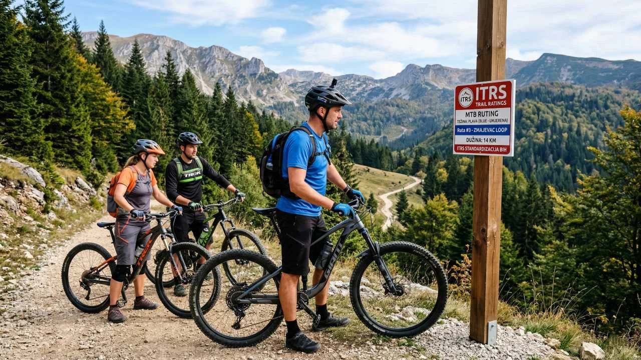
The 4 Key Dimensions of the ITRS Standard
- Technical Difficulty (TD): Measures the skill needed to handle obstacles such as roots, rocks, drops and steep gradients. It uses a scale from 1 (Beginner) to 5 (Extreme). Our dry karst in Herzegovina often ruthlessly demands TD4 skills, while the packed forest trails around Sarajevo are mostly TD2 or TD3.
- Endurance: This category directly rates the physical effort you will face on the trail. It takes into account total vertical climbing, route length and the technical demands of the climbing itself. In the age of the e-bike revolution, this metric is essential so riders can plan their battery use and their own energy wisely.
- Exposure: This is the dimension most often, and most dangerously, ignored here. It measures the risk and danger of falling off the trail into a drop, such as riding right along the edge of a steep canyon cliff. Even if a trail is technically easy (TD2), high exposure automatically pushes it into a higher safety-risk category.
- Wilderness: This dimension sets us apart from the commercialized Alps. It rates how far the trail is from civilization, whether there is mobile signal, and the realistic chance of an ambulance or the Mountain Rescue Service (GSS) arriving within the critical Golden Hour after an accident.
Why Must BiH Adopt This Marking System?

Rider Safety and Legal Responsibility
When a cycling club or local tourism organization marks a trail as "Blue" under strict ITRS rules, every rider knows exactly what awaits them. There are no hidden surprises. This drastically reduces the number of accidents and serious injuries on trails. From a legal standpoint, precise ITRS trail rating also takes a huge burden off race organizers and trail builders, because the final decision shifts to the rider's own assessment.
Objectivity on the Trailforks Platform
As the Trailforks administrator for our region, I rigorously insist on applying the ITRS metric when approving and entering new trails into the database. This makes sure real data from the ground matches exactly what a tourist sees on their smartwatch or phone. That is why I always recommend that every builder and club use our detailed ITRS calculator for MTB trail classification before they start mapping and putting up physical signs.
Action Plan for Clubs and Trail Builders
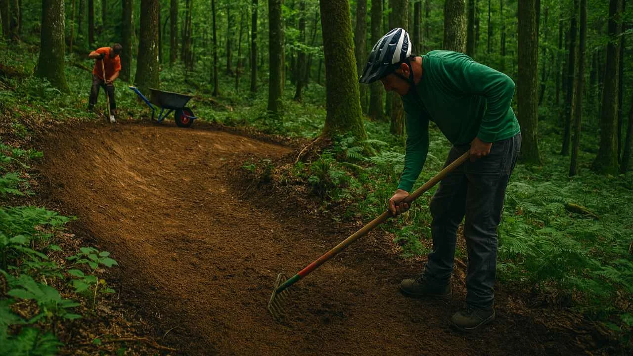
ITRS trail rating is a serious, analytical process, not something solved with a bucket of paint overnight. Through our daily work and the detailed ITRS categorization at Bike Park Evolution, our club already applies these strict criteria. To succeed on a national level, our shared plan has to be clear:
- A tough review of existing trails: A fresh, fully objective assessment of the difficulty of every existing trail, based strictly on the official ITRS tables.
- Trail builder education: Learning how to build and maintain a trail so it stays in its intended rating (so a TD2 trail does not turn into an eroded TD4 after the first autumn rain).
- Unified MTB trail signage: Physically putting up clear, modern signs at the start of every trail that transparently communicate all four ITRS dimensions.
Conclusion: Let's Speak the Universal MTB Language
The era of amateur, "eyeballed" trail marking in Bosnia and Herzegovina has to stay behind us for good. To build a sustainable, profitable and above all safe MTB community that attracts global visitors, we have to communicate in the universal language of professionals. ITRS is that language, and it is high time we all spoke it fluently. It is also the foundation of any serious plan for MTB routes in Bosnia and Herzegovina.
What ITRS Trail Rating Looks Like in Practice
This system is not bureaucracy, but a series of clear steps that any club can apply:
- Measure the trail. Length, total climb and descent are the basis of every rating.
- Rate the difficulty by dimension. Instead of one subjective color, the trail gets a score across several criteria.
- Enter the data on Trailforks. That way the rider sees the same description as everyone else before setting off.
- Mark the trail on the ground. A sign at the start with the same label as on the map removes any doubt.
- Re-check the rating from time to time. Rain, erosion and new jumps change a trail, so the rating gets revised too.
For riders this means fewer surprises, and for organizers better safety and clearer responsibility. See how a rating looks on a real trail at Bike Park Evolution. For general riding safety, read our guide to MTB trail safety. As BiH attracts more visitors, trail difficulty ratings like this will only become more important for mountain bike tourism in Bosnia.
Sources and Further Reading
- Trailforks – the platform where trail ratings are published
- Mountain biking (Wikipedia) – a general overview of the sport and terrain
Frequently Asked Questions
The main advantage is objectivity. ITRS eliminates the subjective opinion of local riders and precisely rates a trail's technical difficulty, endurance, exposure and wilderness.
Through the Endurance parameter, ITRS helps e-bike riders plan precisely how much battery and physical energy they will need to handle the climbs. For more on this, see our tips on how to extend e-bike range.
The four dimensions are Technical Difficulty (TD), Endurance, Exposure and Wilderness. Together they give riders a complete picture of a trail before they start riding.
Classify Your Trail to a World Standard!
Don't guess the difficulty. Use our free tool and find out the exact ITRS rating for your local trail.
Launch the ITRS Calculator