MTB route · Trebević · East Sarajevo – Pale
Ćirina pruga Sarajevo – Trebević MTB Marathon
A 51.4 km MTB loop over Trebević and Pale, then down the old Ćiro railway to the Kozija ćuprija bridge. Guide, map, GPX and ITRS difficulty rating in one place.

Distance
51.4 km
Descent
−1076 m
Average time
4 – 6 h
Climb
1075 m
ITRS score
347

Difficulty (ITRS)
Green route (L1)
Gravel road and asphalt

Physical effort
Demanding (L3)
1075 m of climbing over 51.4 km
ITRS Route Pie: route difficulty at a glance
The Route Pie shows the ITRS rating of the route across four axes: technique, fitness and logistics, wilderness and risks, and exposure. Click the chart to open an explanation of difficulty, demands and the other parameters.
About the route
Ćirina pruga Sarajevo: Trebević MTB marathon over Trebević and Pale
The Trebević MTB marathon is a 51.4 km loop that links East Sarajevo, Trebević and Pale, with the Ćirina pruga railway line as its backbone. The 1075 m climb comes in the first half, followed by a descent via Dovlići and Udež to Pale and a gentle downhill along the old Ćiro railway to Kozija ćuprija. The ITRS rating is 347 points (technique L1, fitness L3).
Ćirina pruga route at a glance
- Distance 51.4 km, climbing 1075 m, descent 1076 m, time 4 to 6 hours.
- ITRS score 347: technique L1, fitness and logistics L3, wilderness L2, exposure L1.
- Surface: gravel road and asphalt. Suitable for gravel, XC and e-bikes.
- Water sources are frequent (less than 7 km apart), a 0.5 l bottle is enough.
- An alternative start with the Sarajevo cable car to Brus cuts the climb by about 600 m.
For a family version along the old railway only, check out the Giro di Ćiro route, and find other trails on the MTB Trebević page. Read the railway's story in the article on the history of Ćirina pruga, and the difficulty is explained by the ITRS classification.
Key sections of the route
01
Climb to Trebević
A long but steady climb from East Sarajevo toward the slopes of Trebević. The first 25 km are the most physically demanding part of the route.
02
Descent via Dovlići to Pale
After the viewpoints comes a dynamic descent via Dovlići and Udež to Pale, where you join the Ćirina pruga line.
03
Ćiro trail to Kozija ćuprija
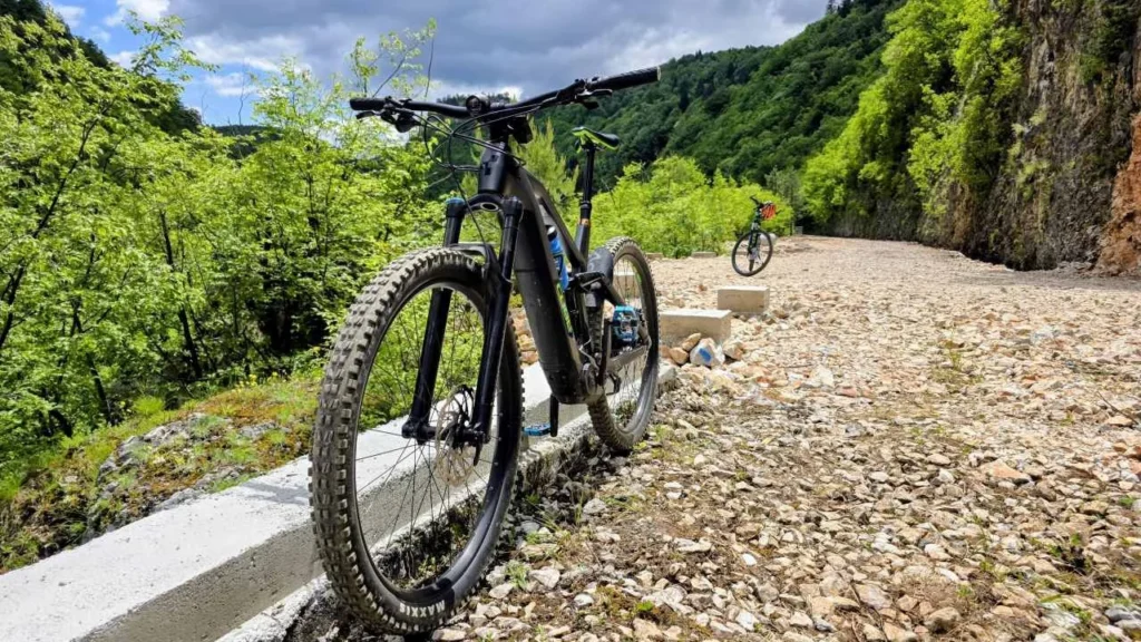
A wide gravel road with a gentle downhill leads through the Miljacka canyon, past old stone tunnels and over viaducts to Kozija ćuprija, then back through the city.
Unlit tunnels
The tunnels on the Ćirina pruga line are unlit and curved. Bring a powerful front light, reach the Ćiro trail before dark and watch out for pedestrians.
Ćirina pruga route features
Primary activity
Gravel, mountain bike
Route type
Loop, rideable in both directions
E-bikes
Allowed, the route is suitable
Signal
Stable (4G)
Water
Frequent sources (less than 7 km apart)
Physical demands
Demanding (L3)
Surface
Gravel road, asphalt
Trailforks
Ćirina pruga route map and elevation profile
The route is long and complex. Download the GPX track before you set off, and watch for traffic in the city.
Gear and riding tips
Mandatory
A helmet and a powerful front light are mandatory because of the unlit tunnels. Bring a 0.5 l bottle and a tire repair kit.
Recommended
Gravel, XC or e-bike. We don't recommend heavier enduro bikes because of the energy lost on long climbs.
City traffic
The section from Kozija ćuprija through Sarajevo to East Sarajevo runs through traffic, so stay alert.
Pro tip
Editor Marko Ristivojević: the descent along Ćirina pruga from Pale to Sarajevo is probably the most beautiful gravel section in the country. Check your bike before a long ride. Our workshop does bike service by appointment: book a slot.
Frequently asked questions
Is Ćirina pruga Sarajevo hard to ride?

The Pale to Sarajevo section is technically very easy: wide gravel road with a gentle downhill. The demanding part is getting to Pale over Trebević (the first 25 km).
What is the best bike for Ćirina pruga?
Gravel, XC or e-bike. We don't recommend enduro bikes because of the long climbs.
How long does the Ćirina pruga MTB marathon take?
The route is 51.4 km long, with 1075 m of climbing and 1076 m of descent. The average time is 4 to 6 hours.
How can I shorten the climb to Trebević?
The Sarajevo cable car takes you and your bike to the Trebević viewpoint, and then you continue via Brus to the descent. This saves about 600 m of climbing.
Do I need lights on Ćirina pruga?
Yes. The tunnels are unlit and curved, so a powerful front light is mandatory.
Ready for the marathon challenge?
Browse all MTB routes in Bosnia and Herzegovina, or contact us for advice on gear and service appointments.